A lake effect snow warning has been issued by the National Weather Service for parts of New York state, including Wyoming, Cattaraugus, and Erie counties, from Monday at 1 a.m. until Wednesday at 10 a.m. The warning comes as heavy snow accumulations are expected, particularly in the northern Cattaraugus and southern Erie counties, and western Wyoming County. These areas may experience 10 to 20 inches of snow, with the heaviest and most impactful snowfall anticipated between Monday and Tuesday evening.
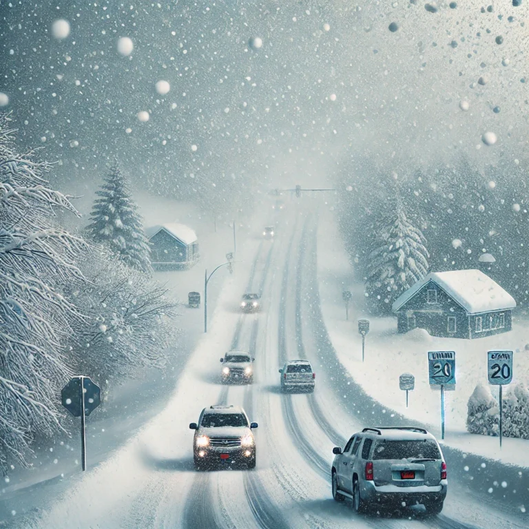
Travel conditions are expected to be extremely challenging, with very poor visibility and deep snow cover on the roads. The National Weather Service warns of rapidly changing weather conditions, including varying snow intensities, reduced visibility, and unpredictable road conditions. Drivers are urged to stay alert and prepared for sudden shifts in the weather.
Arctic Air Brings Brutal Cold Across the U.S.
Meanwhile, over 95 million Americans are bracing for frigid temperatures as arctic air plunges south. A powerful storm sweeping across the East Coast is expected to bring snow to major cities, with winter storm watches and warnings in effect from the mid-Atlantic to the Northeast.
Snowstorm Expected in New York City
New York City is forecast to receive around 4 to 6 inches of snow from Sunday afternoon into the evening. This could be the city’s largest snowstorm in nearly three years. Residents are advised to prepare for possible travel disruptions and slippery conditions.
Winter Weather Impacting Boston, Washington D.C., and Philadelphia
Boston will experience a mix of rain and snow, transitioning to all snow by evening, with 4 to 6 inches expected. Washington, D.C., and Philadelphia are also set to receive snow, with accumulations ranging from 2 to 4 inches. These areas should expect icy roads and hazardous conditions, especially as temperatures drop overnight.
Extreme Cold in the Midwest and North
An extreme cold warning is in effect for parts of North Dakota, northern Minnesota, and northwestern Wisconsin through noon on Tuesday, with wind chills potentially reaching as low as -50°F. These dangerously low temperatures could lead to frostbite in as little as five minutes for exposed skin.
In cities like Minneapolis and Chicago, wind chills are expected to dip to -30°F and -20°F, respectively. Even New York City could see temperatures below zero, while Houston will experience subzero wind chills early in the week.
Winter Weather Threatens Gulf Coast and Southern States
Another significant winter event is expected to hit the Gulf Coast, starting Monday night and continuing through Tuesday. Areas from Texas to the Florida panhandle will see snow, ice, and a hard freeze, causing significant travel disruptions. Central and southern Louisiana, southeastern Texas, and parts of Mississippi and Alabama could receive up to 4 inches of snow, with some areas north of Interstate 10 expected to see more than 6 inches.
Ice accumulation from freezing rain is also a concern along the Gulf Coast, including in Houston, which could face power outages and widespread travel delays.
Uncommon Winter Weather for the Gulf Coast
Houston, which last saw over 1 inch of snow in 2021, could experience measurable snow starting Monday night. New Orleans, which hasn’t seen measurable snow since 2009, may also be in line for a rare snowstorm. Although it’s too early to predict exact snowfall amounts, residents in the region are being advised to prepare for the possibility of significant winter weather, which could disrupt daily life and travel.
Conclusion: Prepare for Major Winter Storms and Cold Snap
As this extreme cold snap and winter weather event move across the country, residents from the Northeast to the Gulf Coast should stay informed and take necessary precautions. With snow, ice, and bitterly cold temperatures affecting multiple regions, it’s crucial to be prepared for difficult travel, power outages, and hazardous conditions over the coming days.
Read more Stories Like This Please follow the link: https://usablogpost.com/